On the evening of July 23, 2021, along a quiet provincial road linking Bonarcado to Santu Lussurgiu in central-western Sardinia, a broken-down car caught fire on the roadside at a spot called Cracchedu. It was the spark of an environmental catastrophe unprecedented in the island's recent history. Within hours, fueled by extreme summer heat and sudden changes in wind direction, the flames mutated into the largest wildfire recorded in Italy throughout 2021. The wall of fire swept through ancient forests, centuries-old olive groves, and highland pastures across the volcanic massifs of Montiferru and Planargia, threatening mountain villages and forcing dramatic emergency evacuations.
Years later, the story of this devastation is not merely an account of destruction. It has become an essential case study in environmental science for understanding the extreme vulnerability—and the remarkable resilience—of Mediterranean ecosystems. From the ashes of more than 20,000 affected hectares, nature launched a slow, intricate, and obstacle-ridden process of natural regeneration, symbolized by the world-famous recovery of a thousand-year-old wild olive tree at Sa Tanca Manna.
Anatomy of a megafire: how six days overwhelmed the island
For ecologists and forestry scientists, the disaster that struck Sardinia in the summer of 2021 was not just a large forest fire; it was classified as a true megafire. In environmental literature, a megafire is defined as a blaze exceeding 10,000 burned hectares that generates such massive thermal power that it temporarily alters local atmospheric conditions, creating wind vortexes and rendering standard ground and aerial firefighting efforts nearly powerless.
The chronological timeline highlights the sheer scale of the emergency. Firefighting crews initially managed to contain the roadside car fire during the late evening of July 23. However, as darkness fell, emergency teams had to suspend delicate mop-up operations in the dense underground brush. The following day, July 25, a sudden gale of scorching southern winds reignited hidden embers buried beneath thick ash. Within hours, multiple fire fronts expanded at terrifying speeds, rushing simultaneously toward several historic mountain towns.
For six grueling days, between July 24 and July 29, 2021, emergency forces deployed unprecedented resources: over 7,500 personnel—including the Sardinian Regional Forestry Corps, Civil Protection, Firefighters, local rural guards (barracelli), and volunteer brigades—were supported by 7 national Canadair water-bombers, 2 firefighting aircraft dispatched from France, and 11 regional helicopters. Despite this massive mobilization, the fire roared across more than ten municipal territories, triggering urgent evacuations of hundreds of residents in Cuglieri, Scano di Montiferro, Sennariolo, and surrounding hamlets.
Post-fire satellite surveys conducted by researchers at the University of Cagliari using high-resolution Sentinel-2 imagery and the Normalized Burn Ratio (NBR) index precisely calculated that 12,235.5 hectares of vegetation suffered direct medium-to-high burn severity. Geomorphological mapping extended the direct environmental impact zone to 131.64 square kilometers (13,164 hectares), while total economic assessments by agricultural associations estimated the impacted perimeter at over 20,000 hectares. Remarkably, this single megafire accounted for 68% of all burned surface area in Sardinia during the entire year of 2021.
Thermal rock spalling and the post-fire debris flow threat
The environmental impact of a megafire extends far beyond destroyed trees and lost wildlife. A less visible but highly destructive consequence involves the direct thermal shock inflicted on the geology of Montiferru, an ancient extinct volcanic complex made up of basaltic and trachytic rock layers.
A landmark scientific study published in 2025 in the international journal Scientific Reports—conducted by researchers from the University of Cagliari in collaboration with the Geological and Mining Institute of Spain (IGME-CSIC), the Italian Civil Protection, and the National Research Council (CNR-IRPI)—analyzed a physical phenomenon known as thermal spalling. During the passage of the main fire front, ground-level temperatures reached extreme levels, causing severe differential thermal expansion within the rock formations. The extreme temperature gradient literally cracked the stone surface, exploding rock flakes ranging from a few millimeters up to 13 centimeters in thickness.
Scientists monitored 69 exposed rock outcrops across the burned territory. They discovered that up to 74.6% of the surface area on certain rock cliffs exhibited thermal fracturing solely caused by the fire's heat, with a median damage rate of 20.3% across the entire analyzed landscape.
This loss of structural cohesion in the bedrock, combined with the complete destruction of root systems that previously anchored the topsoil, exposed the steep slopes of Montiferru to severe hydrogeological hazards. Just six days after the fire was extinguished, on July 30, 2021, the first intense thunderstorm triggered widespread flash floods and mudslides (debris flows). Between July 2021 and November 2022, researchers documented 33 major debris flows distributed across 21 distinct hydrological sub-basins. Between 1.3% and 36.6% of the rock debris carried down mountain ravines and over roadways consisted of the very rock fragments shattered by thermal spalling, demonstrating how the fire altered the region's surface geology for years to come.
Ecosystem response: which species survive and which disappear
From an ecological perspective, the Mediterranean shrublands (macchia) and oak forests of Montiferru represent a natural living laboratory for studying plant survival strategies under extreme disturbance. Long-term studies coordinated by botanists from the University of Cagliari and ENEA, published in scientific journals such as Land (2022) and Fire (2024), provide a detailed picture of post-megafire ecological succession.
Mediterranean ecosystems have co-evolved with fire over millennia, but the extreme heat of the 2021 megafire drew a sharp line between evolutionary resilient species and highly vulnerable ones:
- Resilient species (resprouters): Cork oaks (Quercus suber), holm oaks (Quercus ilex), wild olive trees (Olea europaea var. sylvestris), and Mediterranean shrubs like rockrose (Cistus), myrtle, and broom demonstrated remarkable underground survival. Within twelve months of the fire, the majority of adult trees whose root crowns survived began producing vigorous basal shoots (resprouting).
- Vulnerable species (local loss): In contrast, shade-tolerant and fire-sensitive species of high conservation value, such as European yew (Taxus baccata), holly (Ilex aquifolium), bay laurel, and hawthorn, suffered complete mortality in monitored historical sites where they previously formed stable forest understories.
- Grassland recovery: While mature forest canopies require decades to re-establish, herbaceous plants and grasses showed a rapid recovery within the first seasonal cycle post-fire, fueled by the temporary flush of soil nutrients released by wood ash.
Ecologists conclude that while green ground cover returns relatively fast to protect slopes against surface erosion, the structural complexity and biodiversity of the original mature forest will require decades to fully recover.
Sa Tanca Manna: the miraculous rebirth of the millennial wild olive
If one single organism came to embody both the tragedy and the hope of Montiferru, it is the ancient wild olive tree (Olea europaea var. sylvestris) of Sa Tanca Manna, located just outside the town of Cuglieri. Estimated by botanists to be well over 1,000 years old, this botanical giant featured a trunk circumference close to 10 meters (33 feet) and a height of over 16 meters, officially recognized on Italy's national register of Monumental Trees.
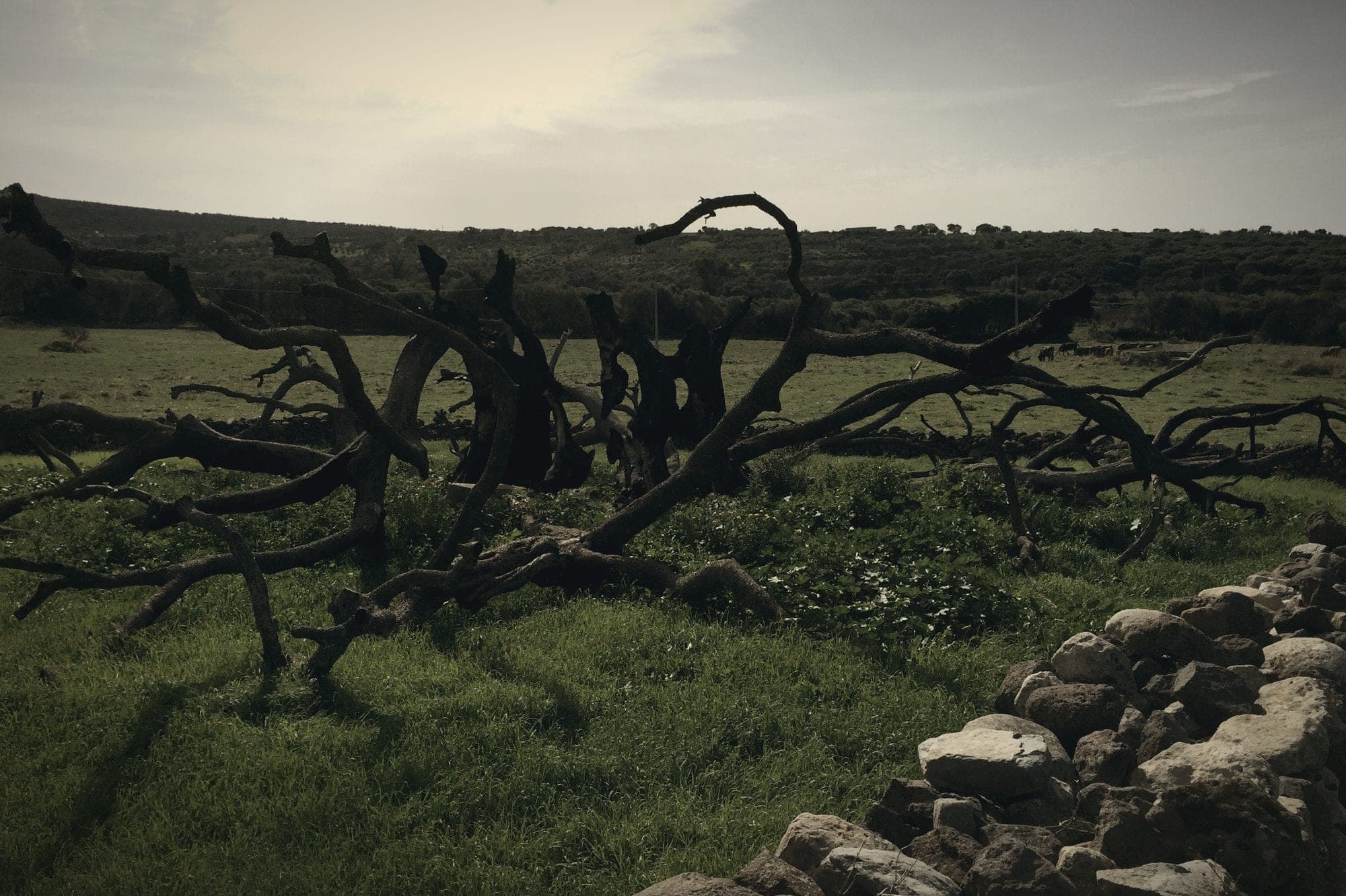
During the apocalyptic nights of July 24 and 25, 2021, radiant heat and burning embers surrounding Cuglieri completely enveloped the tree's massive canopy and hollow interior. The dry wood inside the hollow trunk ignited, transforming the ancient giant into a chimney furnace. When firefighters and local residents were finally able to approach the site, nothing remained of the majestic canopy except a charred, smoldering wooden shell.
As media around the world reported the irretrievable loss of a botanical treasure, a team of specialists led by Professor Gianluigi Bacchetta, director of the Botanic Garden of the University of Cagliari, joined forces with local volunteers from the Montiferru Association (led by Pier Paolo Arca) and the municipal administration of Cuglieri under Mayor Andrea Loche. Together, they executed an emergency botanical rescue plan:
- Root system protection: The ground surrounding the tree was immediately fenced off to prevent soil compaction and protect surviving shallow roots from foot traffic.
- Controlled irrigation and thermal sensors: Emergency drip lines were installed, and specialized sensors monitored internal tissue temperature and soil moisture to keep the subterranean vascular system alive.
- The first sign of life: The breakthrough occurred in April 2022, roughly ten months after the fire. Botanists discovered tiny green buds emerging from the root collar (lignotuber) at ground level.
- Vigorous green shoots: By June 20, 2022, botanical recovery was officially confirmed: three strong shoots had reached 30 centimeters in height, actively pumping nutrients from the ancient root system.
Today, while the monumental ancient canopy is gone, the rootstock of Sa Tanca Manna remains very much alive. Its growing branches continue to expand year after year behind protective wooden enclosures. It stands as living biological proof of how Mediterranean species can survive even when fire completely destroys their above-ground structure.
Legal investigations, financial hardship, and reforestation drives
Alongside environmental science, the post-fire history of Montiferru includes complex legal and socio-economic realities that continue to affect the local population.
On the legal front, extensive investigations conducted by the Regional Forestry Corps and the Carabinieri under the direction of the Public Prosecutor's Office of Oristano, led by Prosecutor Ezio Domenico Basso, definitively ruled out arson. There was no malicious intent behind the outbreak; the fire was officially classified as an accidental vehicle fire along the Bonarcado–Santu Lussurgiu road. In November 2023, the prosecution formally closed the case, concluding there were no grounds for criminal charges regarding delays or tactical firefighting decisions.
While the criminal investigation ended without prosecution, the financial impact on the local agricultural economy remains a critical issue. Immediately after the fire, the Association of Professional Agronomists estimated total damage to rural infrastructure, livestock, commercial olive groves, and pastures at at least one billion euros.
Five years after the disaster, compensation claims remain a sore point for local farmers. In February 2026, a report published by Coldiretti Oristano highlighted that over 90% of compensation applications submitted by farming businesses through Measure 5.2 of the Rural Development Programme (RDP) remained unfunded due to budget shortfalls. More than 500 agricultural enterprises in Montiferru and Planargia are still awaiting assistance for over 40 million euros in direct uncompensated losses, compounding the economic pressures on small rural communities facing depopulation.
In response, private and public reforestation initiatives have stepped in to accelerate ecosystem recovery. In May 2023, the community project Acqua contro il fuoco planted the first 400 native trees in the Santa Barbara area of Scano di Montiferro. More recently, in July 2026, the regional forestry agency Forestas and local volunteer groups planted an additional 500 native trees (holm oaks, cork oaks, and downy oaks) near the medieval ruins of Casteddu Etzu castle, creating a protected green corridor for local wildlife.
5 key scientific facts about the Montiferru megafire
To understand the broader ecological significance of this event in modern Mediterranean history, five key findings stand out:
- National record size: With 12,235 hectares of high-severity satellite-verified burn area (and over 20,000 hectares within the overall economic perimeter), Montiferru was the largest single wildfire in Italy in 2021.
- Disproportionate regional impact: This single fire destroyed 68% of the total land area burned across the entire island of Sardinia during the 2021 fire season.
- Bedrock thermal spalling: Extreme ground heat fractured an average of 20.3% of exposed volcanic rock surfaces, generating loose stone fragments that directly contributed to 33 post-fire debris flows over the following 16 months.
- Resilience of the ancient olive: Despite its hollow core burning continuously for over 24 hours, the millennial wild olive of Sa Tanca Manna produced new vegetative sprouts at ground level just ten months later, in April 2022.
- Decadal recovery timeline: While herbaceous pastures recovered within 12 to 18 months, forest ecologists estimate that mature oak woodlands and dense Mediterranean canopy cover will require 15 to 20 years to recover their original structural density.
Visiting Montiferru today: heritage, nature, and travel routes
Visiting the Montiferru region today offers travelers a deeply moving and educational experience. Walking the mountain paths between Cuglieri and Santu Lussurgiu provides a firsthand look at nature's remarkable ability to regenerate, as well as a sober reminder of the vital importance of wildfire prevention.
Travelers exploring central-western Sardinia can follow an itinerary that combines archaeological heritage, natural landscapes, and historical memory:
- The Wild Olive of Sa Tanca Manna (Cuglieri): Located just outside the town center of Cuglieri. Following the bypass road along Via Littorio, a short signposted unpaved road leads to the clearing where the monumental tree stands. The site is protected by wooden fences and is freely accessible on foot. Visitors are kindly requested to stay on designated paths to avoid compacting the delicate soil around the recovering roots.
- The Town of Cuglieri and Santa Maria della Neve: Climbing up through the historic hillside streets leads to the grand plaza dominated by the Basilica of Santa Maria della Neve, offering panoramic views sweeping from the volcanic peaks of Montiferru down to the western coastline.
- Santu Lussurgiu and Volcanic Forests: On the eastern slope of the mountain range, the historic village of Santu Lussurgiu welcomes visitors with dark stone architecture, traditional artisan workshops, and nearby ancient oak woods like Sos Nibberos, which fortunately escaped the 2021 blaze.
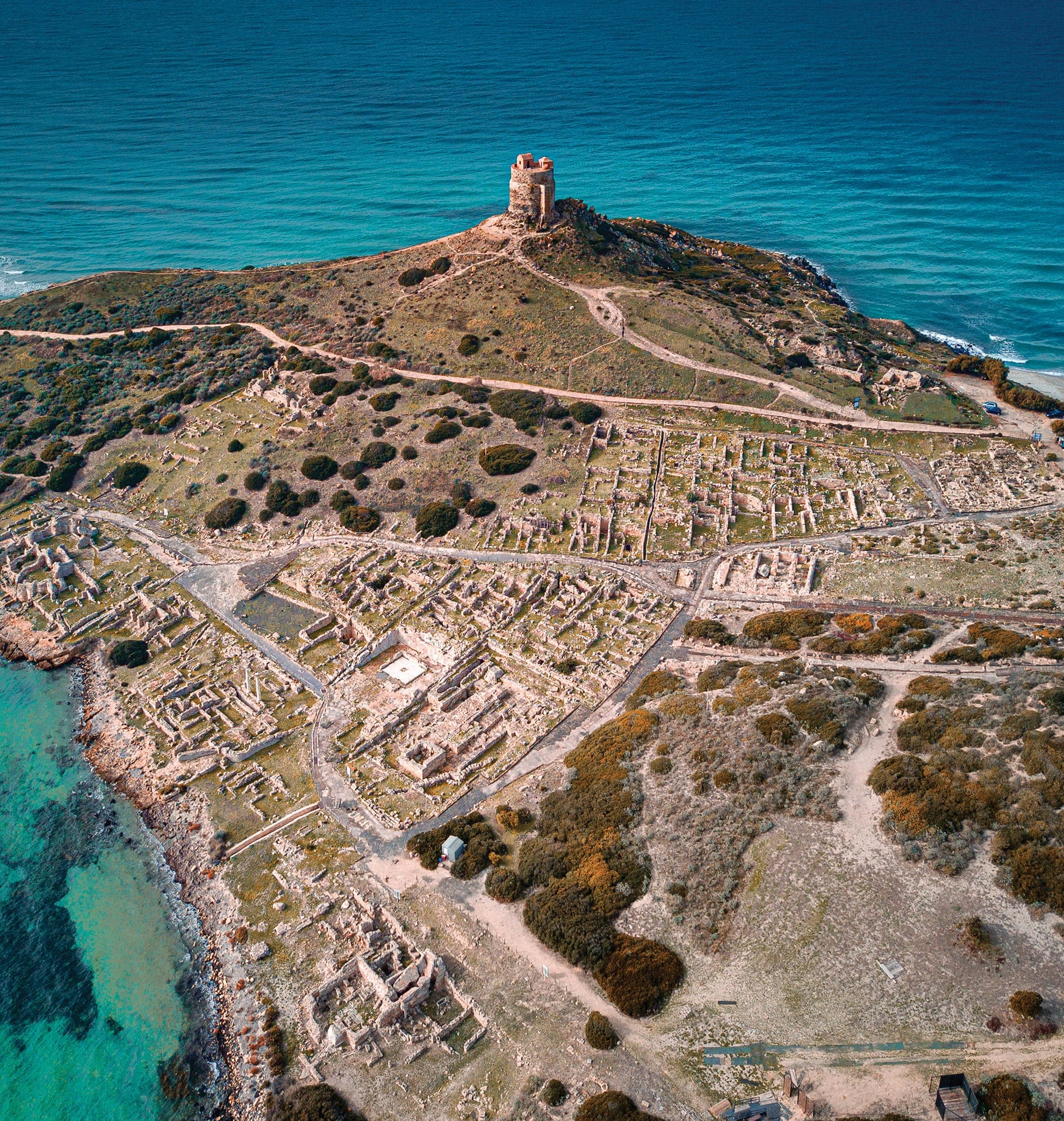
The region of Montiferru lies at the heart of a territory rich in ancient history. Just a short drive away along the coast of the Sinis peninsula, visitors can explore the multi-layered archaeological ruins of /en/blog/tharros-quattro-civilta-sinis or visit the site associated with the historic /en/blog/battaglia-cornus-ampsicora during the native Sardinian revolt against Roman rule. Further inland, the extraordinary geometric precision of Bronze Age nuragic architecture awaits at the sacred well of /en/blog/pozzi-sacri-santa-cristina.
Visiting Montiferru today directly supports the local communities, small-scale farmers, and traditional artisans who maintain these historic mountain landscapes in the heart of Sardinia.
Cover photo: Air fans, CC BY-SA 4.0, via Wikimedia Commons (https://commons.wikimedia.org/wiki/File:Resti_Albero_Millenario_di_Cuglieri_1.jpg)